Professional Land Surveyors
Hamilton • Burlington • Oakville • GTA
Survey Inquiry905-643-6131
Get a Quote
Hamilton • Burlington • Oakville • GTA
Hamilton • Burlington • Oakville • GTA
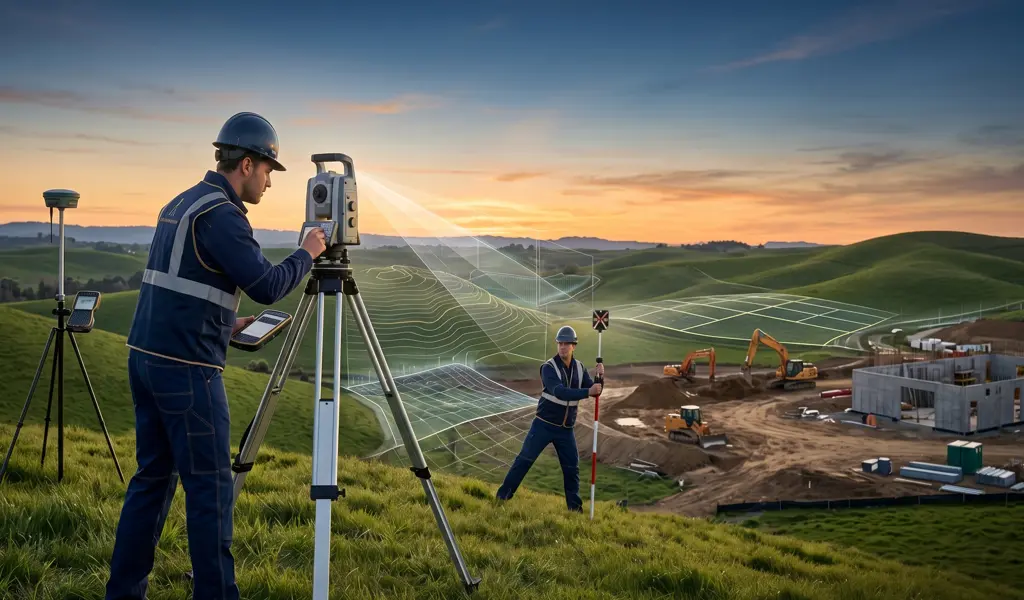
Construction layout surveys provide the precise guidance needed to turn engineering drawings into physical reality. We translate coordinate locations from your plans into accurate field markers for new structures, roads, and utilities.
Using high-resolution laser scanning, we create bare-earth models suitable for geomorphological studies, landslide classification, and advanced slope analysis.
We determine the precise course, azimuth, and dip of boreholes to reach target subterranean points with specialized recording apparatus.
Precision measurement of volumes, earthworks calculations, detailed sections, and setting-out schedules to ensure budgetary and material accuracy.
Need professional support for your residential or commercial project? Our surveyors are ready to assist across Hamilton, Burlington, Oakville, and the GTA.